Retrochange data download
Dataset previews
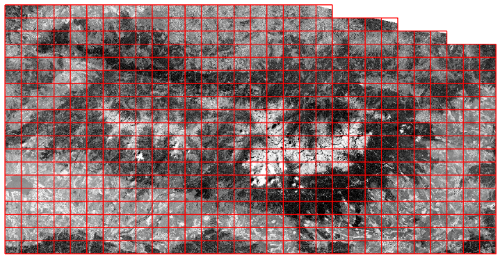 High Tatras: all GeoTIFF map sheets
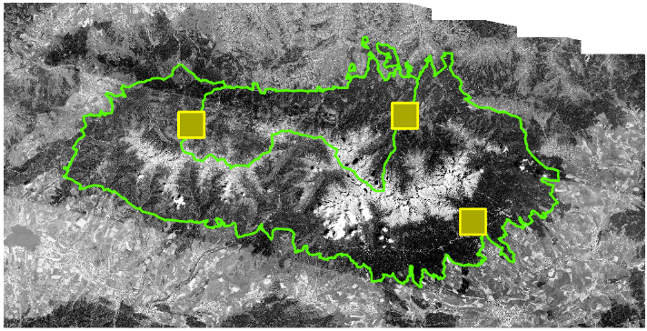 High Tatras: use cases
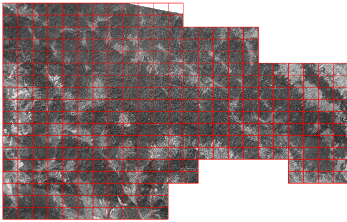 Poloniny: all GeoTIFF map sheets
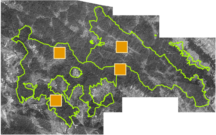 Poloniny: use cases
Terms of use
The RETROCHANGE-derived GeoTIFF datasets are provided under Creative Commons Attribution 4.0 International (CC BY 4.0), to the extent of the rights held by the Technical University in Zvolen. When sharing or adapting the datasets, give appropriate credit, link to the license, and indicate changes.
Source imagery: declassified KH-9 (HEXAGON) satellite imagery courtesy of the U.S. Geological Survey (USGS), EROS Center.
Positional and radiometric accuracy may vary; the data are not intended for cadastral, legal, engineering, or survey-grade applications.
See README.txt and LICENSE.txt inside each ZIP package for the complete dataset-specific description and recommended citation.